Thursday, October 28, 2004

The open road

Nobody around, no real destination, just an open road and plenty of gas.
This photo illustrates the part of my trip that I miss the most. I visited many national parks, cities, and small towns, but the majority of the time was spent riding on small roads like this. There's not many people around, not much to see, no real destination... just lots of open road and plenty of time to think.

Wednesday, October 27, 2004

Rainy day photos

Notice the food wrappers?
Camping in the rain in Minnesota. Bringing all this stuff into the tent is what earned me an introduction to a bear the next night.

I know it's a lake, but it sure looks like an ocean.
Lake Superior, taken from the north shore in Ontario.

OK - time to head south!
Somewhere in the middle of Ontario. The sign says "Arctic Watershed - from here all streams flow north into the Arctic Ocean."

One has saddlebags, the other has a squid.
Two guys on identical VFRs in Vermont. This was taken right before I met Tropical Storm Ivan, formerly known as Hurricane Ivan.

Friday, October 22, 2004

A few more photos

Another pretty valley and huge mountain in Grand Teton National Park.
Grand Teton National Park, Wyoming

As pretty as Yellowstone, but with more evidence of human activity (ranching, electrical poles, etc).
Chief Joseph Scenic Byway, Wyoming

This is a fun, fun road.
Chief Joseph Scenic Byway, Wyoming

The FJR at Devil's Tower.
Devil's Tower National Monument, Wyoming

Thursday, October 21, 2004

Second press

A few photos I missed or skipped the first time...

Wizard Island in the middle of Crater Lake, Oregon.
Crater Lake, Oregon

One of countless rivers in the area around Stanley, Idaho.
Southeast of Stanley, Idaho

The Tetons are astonishingly beautiful. Photos do not do them justice.
Grand Tetons, Wyoming

Wednesday, October 13, 2004

The actual route

A big clockwise loop.

When I planned the route back in July, I wrote "this will be scaled down." Wrong. I rode it almost exactly as planned, except for the last week or so. Instead of going down to New Orleans, I spent more time in southern Colorado and Utah. I actually rode a lot farther than I expected... I was thinking of about 7000 miles total and instead I rode nearly 10,000!

Here are some numbers out of my journal:
30 days
9,910 miles
221 gallons of gas
2 rear tires
1 front tire
1 big scary bear

Home

I am not a crook, officer, no matter what your radar says.

The last day of riding was from Las Vegas across Death Valley, then from Bakersfield out to the coast and home. The last road into town goes through a huge valley before the coastal mountains, and I had to stop and enjoy the sunset in the middle of it (and strike a Nixon exit pose).

I actually got home last weekend, but I was immediately sucked back into normal life. I was so relaxed when I got back! Vacations are like massages for my mind - when I get back I want to see how long they'll last. About a week, it seems, then I'm back to getting tense over silly little things.

Tuesday, October 05, 2004

Death Valley and the Mojave

I've seen plenty of ravens scavenging, but this is the first time I've seen a coyote so close to humans.

The beggars - a coyote and a raven in Death Valley. No matter how many signs they put up, people still feed them.

A lonely cloud in the desert.

Sometimes the road gives you a little visual treat.

This is the only plant bigger than a shrub that can survive in the Mojave Desert.

Joshua Trees west of Death Valley.

Monday, October 04, 2004

Germans on Harleys

What's scarier: European tourists driving rented RVs or Eureopean tourists riding rented Harleys?

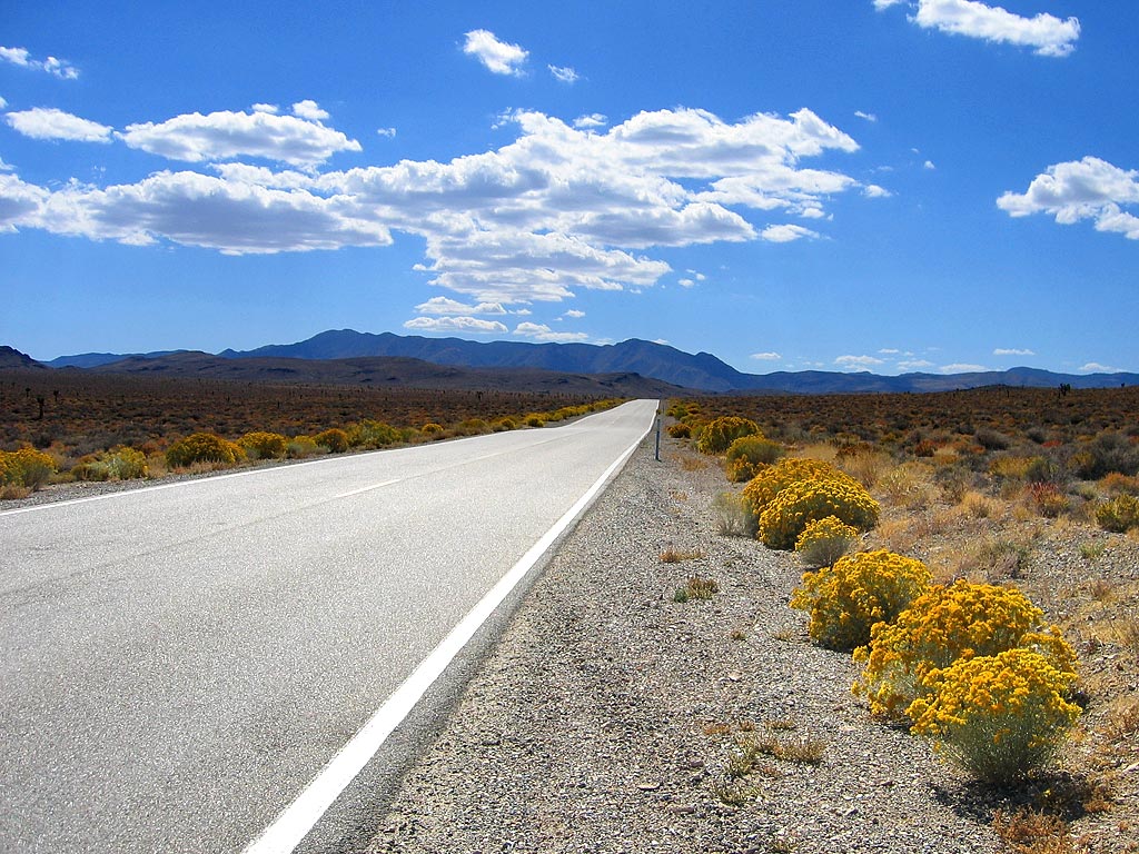
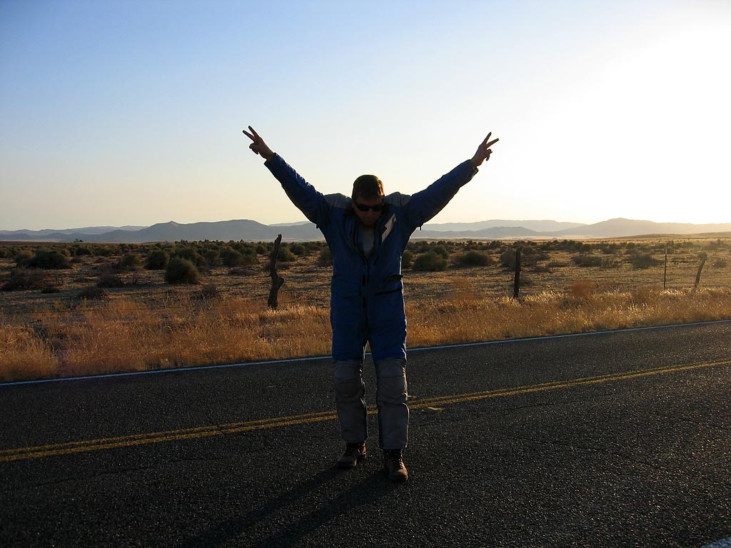
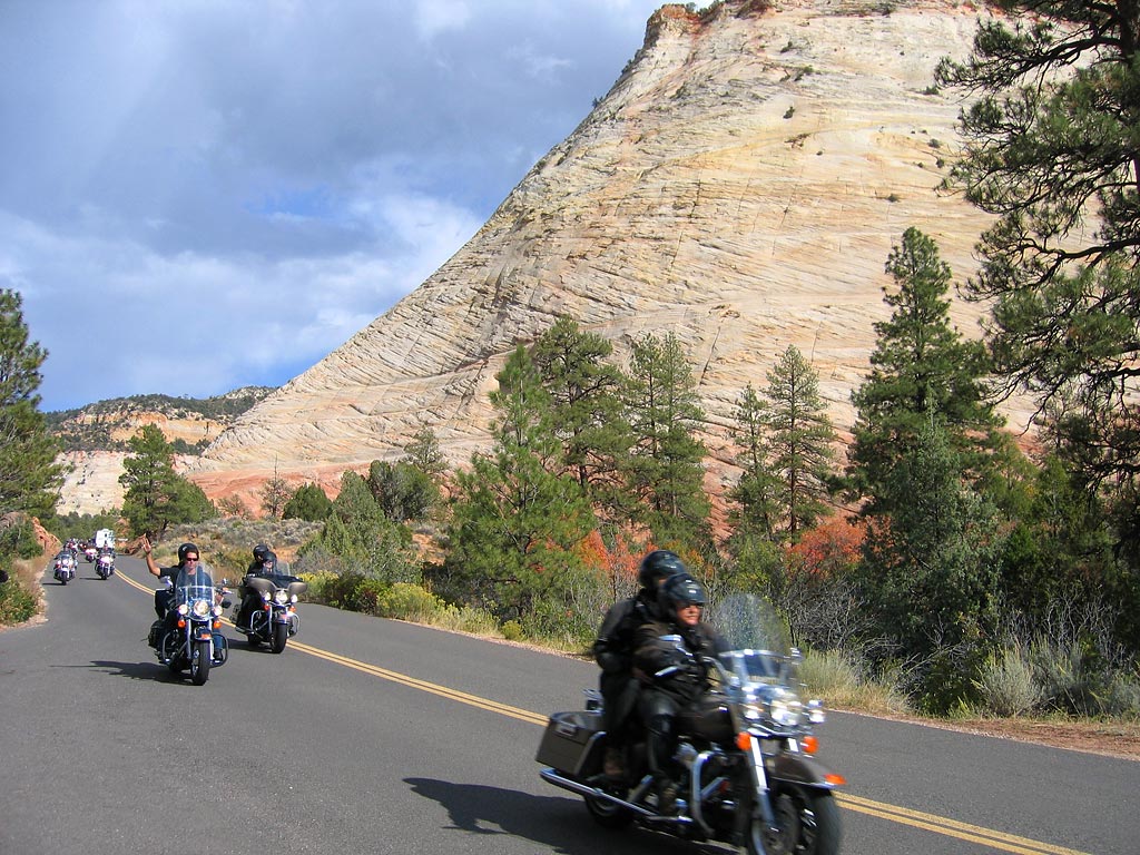
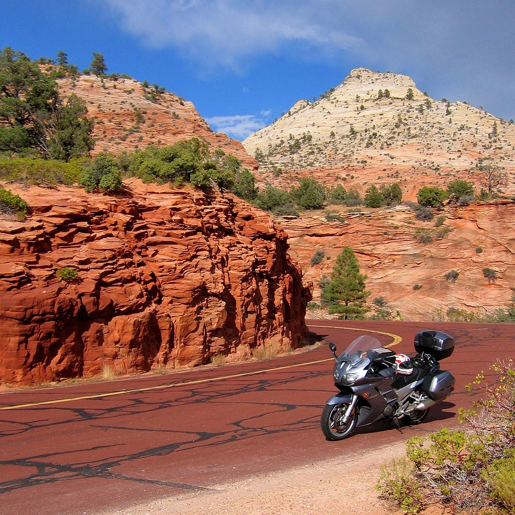
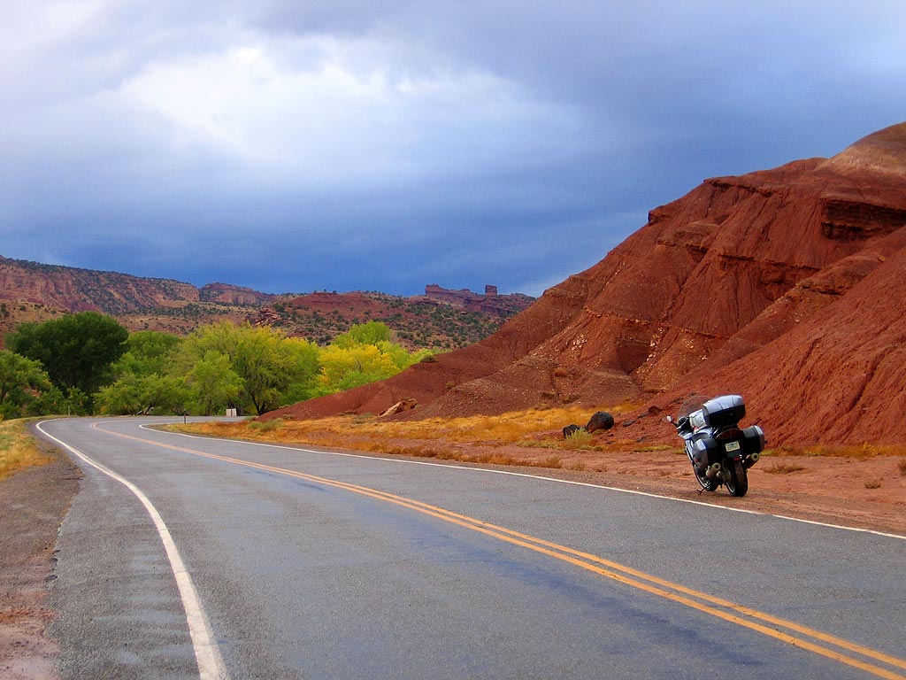
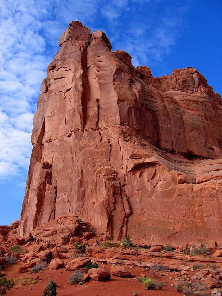
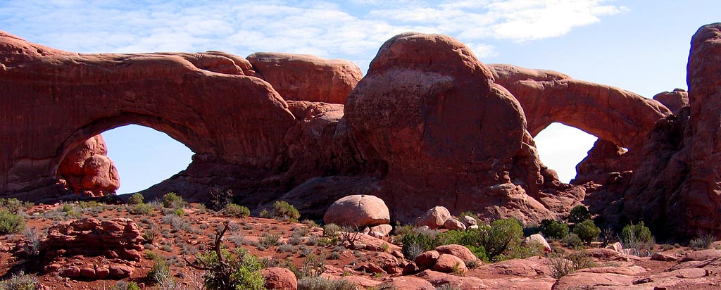
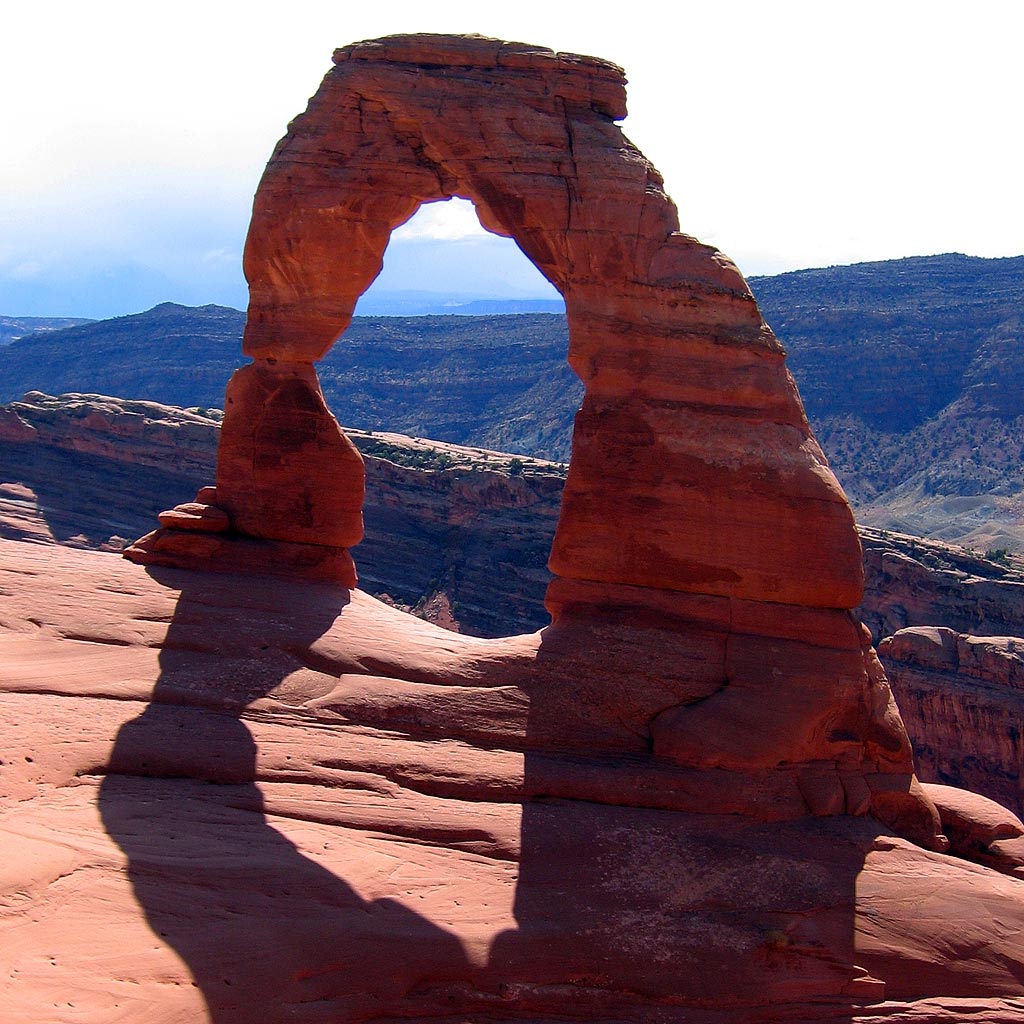
I played leapfrog all day with a group of Germans riding rented Harleys, from Escalante, Utah all the way to Las Vegas. I saw them leave a little after dawn, and again when I stopped at a restaurant about an hour down the road. It was a tiny little place, totally packed, with three women working including the cook. I told the waitress, "I'm by myself - is it going to be a long time to get breakfast?" She told me that she would put my order at the top since I was alone, and sat me at a table - great! While waiting in line for coffee (at a tiny one pot machine, being refilled and then emptied every minute), an angry German told me, "vee haf been vaiting for haf an hour, vis nossing to drink, nossing to eat!" Well, next time make sure your tour guide calls ahead! When my food was brought out a minute or two later, I just avoided eye contact... and left a large tip on the way out. Advantage: lone wolf.

I spoke to a few of them at a couple of stops, and they were actually very nice people, if a little too caught up in the Easy Rider mythology. Most of them weren't wearing helmets and several of them were wearing leather jackets with American flags and "U.S.A." stenciled in huge letters on the back. I passed them at their stops and they passed me when I stopped. They must have forgiven me for cutting in the breakfast line, because by the end of the day, when I passed them on the interstate going toward Las Vegas, I got a wave, thumbs up and a honk from almost every one of them.

More red rocks

These are called hoodoos.

I stayed in Escalante Friday night and headed west toward Bryce Canyon and Zion Saturday morning. Visiting so many national parks in a row is interesting. It's a mixture of sublime natural beauty and the world's worst traffic jam. I've never seen such bad driving, probably because the parks assemble the perfect storm of technical roads, monstrous vehicles, geriatric and/or foreign drivers, road construction and distractingly beautiful scenery. You go around a corner and you don't know if you'll have a immense valley or an immense RV right in front of you.

The road between Bryce Canyon and Zion has beautiful wide open spaces and perfect roads.

The image below is my first attempt at stitching several photos into a panorama. Click here for a very large image.

This valley is immense, in both height of the mountains and length of the canyon.

The roads, rocks, hills, mountains... everything is red.

Red roads with big black tar snakes.

The evening news in Utah

Besides the free stacks of Book of Mormon at the entrance of many businesses, it's easy to forget that Utah's population is predominantly Mormon. Until you turn on the news, anyway. There were long news features on the selection process for “apostles being called” and “tabernacle trivia” for the kids between commercial breaks. The anchors used the phrase “The Church,” an expression I'd only heard used by Catholics. To be fair, there was a big religious convention in Salt Lake City this past weekend, so what I saw might not have been normal. I just chalked it up to another different world that I got to see.

Saturday, October 02, 2004

Rain at Capitol Reef

Imagine a road through the bottom of the Grand Canyon, and you'll be close to this place. A fun road on a motorcycle, even when wet.

Capitol Reef National Park is the neglected stepchild between Arches and Canyonlands to the east and Bryce Canyon and Zion to the west. Everyone just passes through it, including me. It's a shame, since it's such an interesting place, but I was running out of daylight and their campground was full.

I call this photo

There were so many breaks in the clouds that I thought I could just break through without putting on the rain gear, but no luck. There was always another cloud behind. I've gone through so much water this past week that I feel like I've swum half the distance. The good thing is that I'm learning how to ride well in the rain again, a skill I lost when I stopped commuting on a motorcycle.

The view from the top.

Arches

I think this is my favorite photo from my whole trip (so far).

I did some hiking in Arches National Park, for longer than I had planned, but it was gorgeous and it felt good to exercise. There are a lot of tourists here, which takes some getting used to after the isolation I've had all through the south.

These are the Windows, as seen from Turret Arch.

Delicate Arch is probably one of the most-photographed places on earth, so here's my addition to the collection. The hike is not easy, but it's worth it. I rode out to the street viewpoint after hiking back - it's too far away to see much of anything. Up close the arch is massive and so perfectly balanced and proportioned it's just breathtaking.

Add my photo to the millions.

Friday, October 01, 2004

Mesa Verde cliff houses

The history of the Anasazi people that built cliff houses is fascinating. They shifted from nomadic gatherers to agriculture relatively recently.

If you build your house on a cliff, I guess you're not allowed to come home drunk.

A closer look.

My visit to Mesa Verde National Park was cut short by a lightning, thunder and hail storm. The lightning wasn't anything like the weak flashes we get in California - it was huge spider webs of electricity that seemed to stay in the sky forever. I knew that every time I came to the edge of a cloud, I was going to get pelted with hail. I would scrunch up my shoulders to protect my neck and just yell "ow Ouch OWWW!" when it hit my hands. I should have sprung for rain gloves with knuckle armor. I got some crazy looks from people when I passed, so I would scream "yaaaaaaaaahhhoooooo!" just to confirm their belief that I was totally off my rocker.

Aiming for the gravel

This photo doesn't do it justice.

I named this photo

I somehow missed the turnoff to go west toward Utah, and ended up heading south. The San Juan Mountains and the Million Dollar Highway (named for the gold ore used in the original pavement) were both so spectacular that I decided to keep going. Red Mountain Pass is the first of three, and I made it over that one with just light snow flurries and slushy roads. Motorcyclists hate when there’s gravel on the road, but this was the first time I’ve aimed FOR the gravel – it was either that or slippery road surface.

I was so happy I made it over. Too bad the worst was to come!

It's snowing up ahead!

The weather got progressively worse and by the time I got to Coal Bank Pass, the sky was black and the clouds had that cloud-to-ground mist that means they’re seriously dumping water. The snow hit hard and fast, sticking to the road in a layer of an inch or two. I probably should have turned around, but I knew it would get better soon: I was two miles from the summit, on the north side of the mountain and I could see light through the clouds. So I just stuck my feet out like pontoons to catch the bike if it started to fall over, stuck my chin out and went for it. I rode in a mini-van’s tire tracks, and I met the people at a gas station in Durango, at the bottom of the mountain. They said, “We were watching you - we’ve never seen anything like that before!” I told them, “I’ve never done anything like that before, and I don’t mind if I never do it again!” I would have felt much more comfortable if they had spread more gravel on the road…

This is not a fun motorcycling environment.